land surveying
Building Knowledge
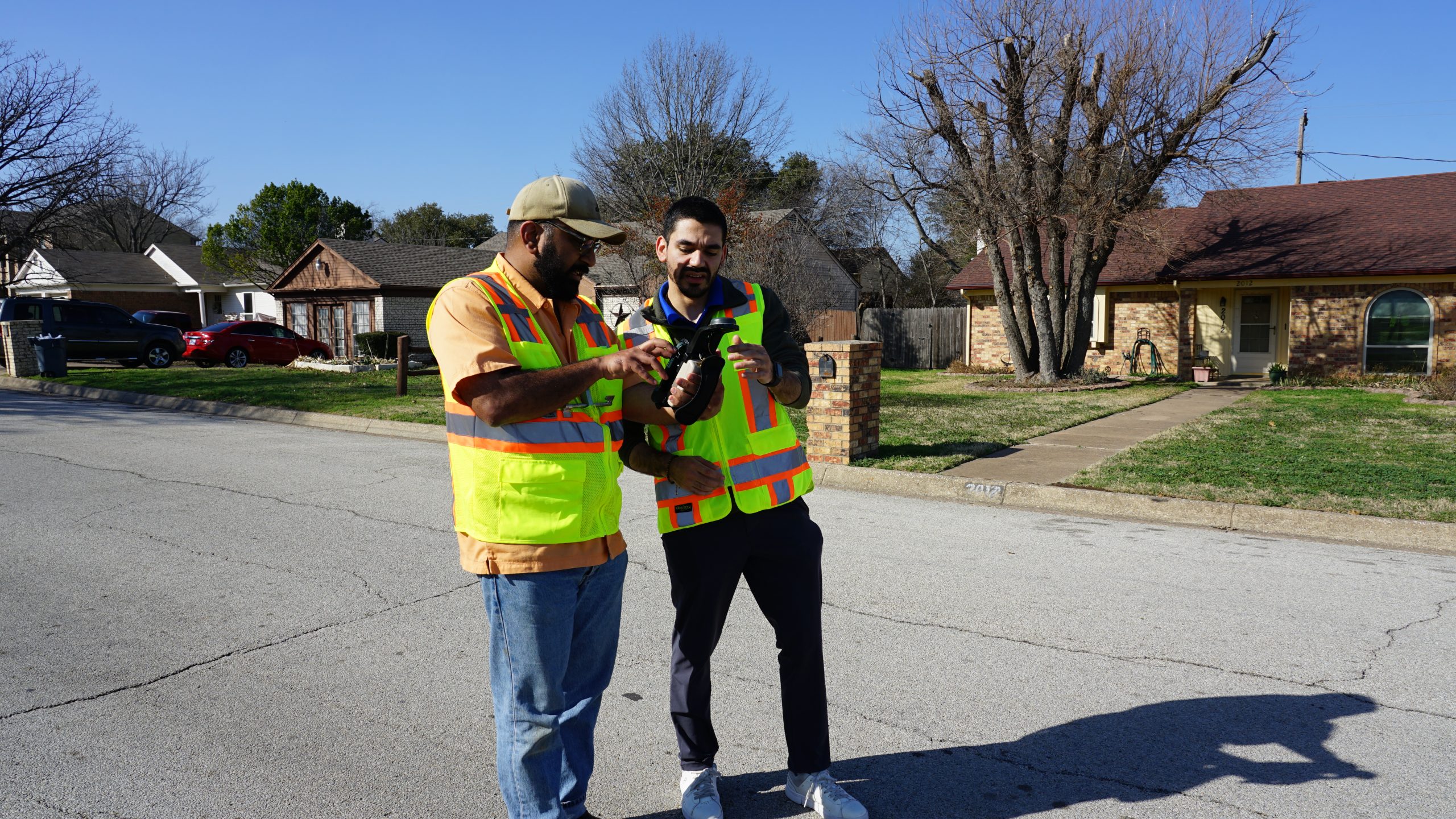
Turning your vision into reality starts with accurate surveys that inform site plans and design decisions. BHB’s approach combines up-to-date technology with surveying professionals who have decades of experience tackling challenging sites and structures. You benefit from their insights and the peace of mind that comes from working with a team of surveyors dedicated to their role in your success and in our communities.
PROJECTS
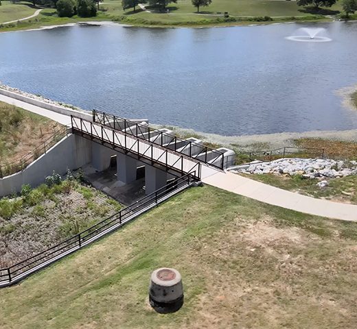
Lake Como & Oakland (Fosdick) Park Dam

Blazing Trail

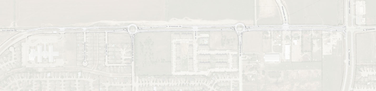
H-E-B Heritage Trace
KNOWLEDGE

Why Hire a Registered Professional Land Surveyor?
The public at large often asks, “Why should I have my land surveyed by a Registered Professional Land Surveyor as opposed to trusting GIS databases or my real-estate agent’s opinion?”
Read More